
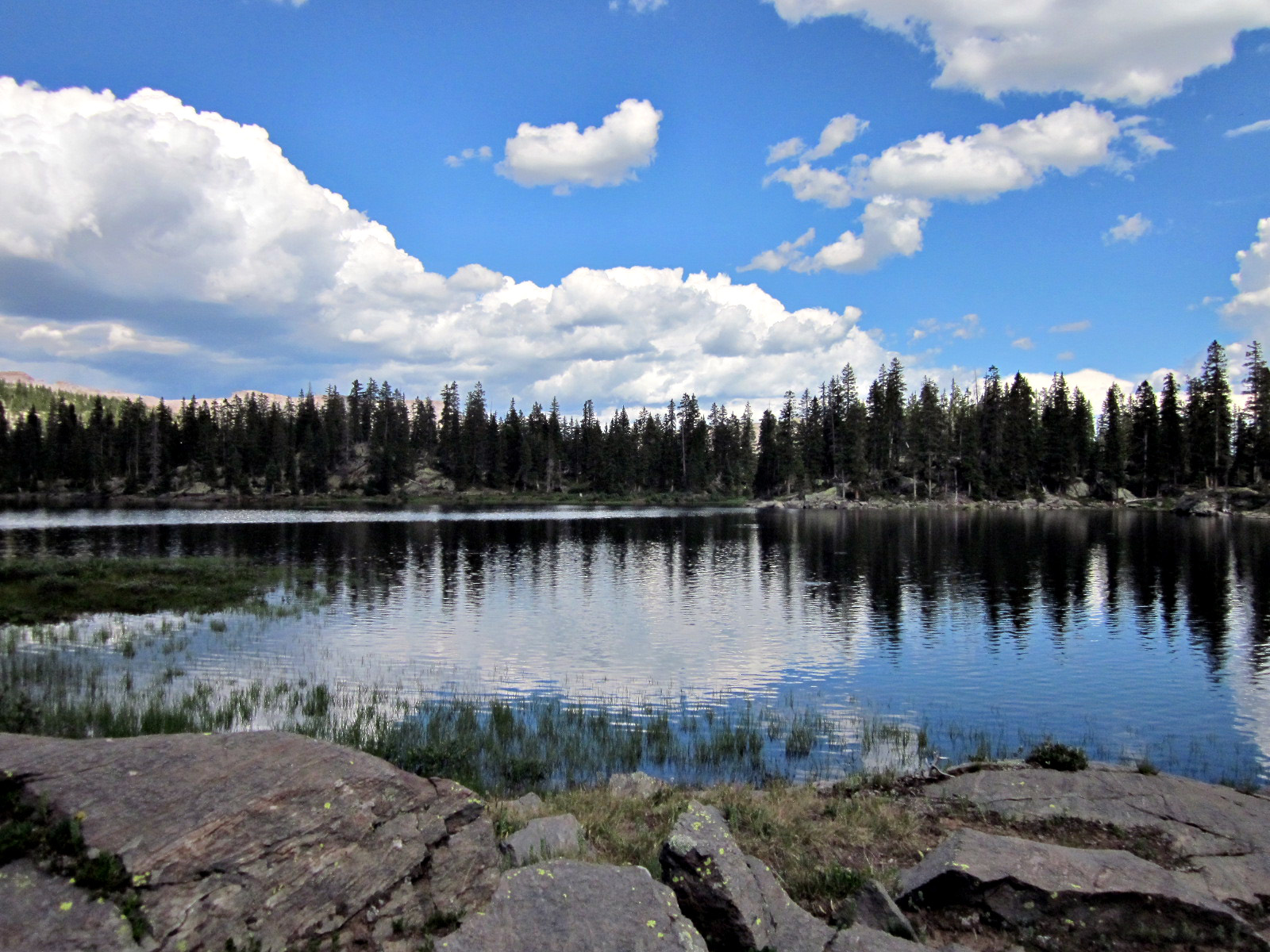
Ute Lakes
- Lake/Pond/Reservoir, Stream/Creek, High Mountain
- Location: Ute Lakes
- Elevation: 11100-12100
- Restrictions: Must have Colorado Fishing License to fish.
- Seasonal Accessibility: Late Spring/Summer/Fall
- Access: HorseBack, Hike
- Driving Directions: From Creede, CO, take State 149 south (toward Lake City) 19.3 miles to Rio Grande Reservoir sign (Forest Rd. 520). Turn left onto Rd. 520 and go 16 miles all the way to the inlet of Rio Grande Reservoir. Bear left onto a dirt road to the trailhead.
- Hiking Directions: Hike up FDT#819 (Ute Creek Trail) for approximately 10.0 miles to FDT#905 (Ute Lake Trail) junction. After departing from the main Ute Trail, this trail immediately crosses Middle Ute Creek and proceeds up an open meadow at a mild grade before making a very steep ascent to an open grassy ridge above main Ute Lake. The trail will then make a short steep descent toward Ute Lake before meeting the Continental Divide Trail immediately above Ute Lake.
- Forest Service Info:: https://www.fs.usda.gov/recarea/riogrande/recreation/fishing/recarea/?recid=29240&actid=42
Four major fishable lakes sit below the Continental Divide in the beautiful basin. Fishing is rated good to excellent in the creeks and lakes of the Ute Drainage.
Comments powered by CComment